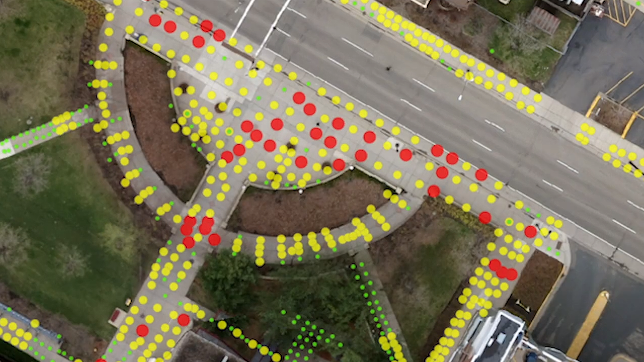
Innovative approaches in spatial research can provide new perspectives on the world around us and better prepare us for the way society is evolving.
At the University of Minnesota, U-Spatial is the heart of spatial research, supporting thousands of faculty, staff, and student researchers across campus in geographic information systems (GIS), remote sensing, and spatial computing. U-Spatial is nationally recognized as a leading model for how universities can successfully integrate spatial data, visualization, analysis, and spatial thinking.
“Our charge at U-Spatial is to develop the GIS workforce of tomorrow,” Len Kne, associate director of U-Spatial, told attendees during a presentation at the 2018 Esri User Conference, an international gathering of mapping and geographic information systems (GIS) experts. “To ensure that everyone in the workforce is thinking spatially, and to advance the geospatial sciences.”
Watch the video below for more about U-Spatial’s capabilities: