
Give to the GeoCommunities Program
A community-based program that is focused on solving local problems facing communities.
Led by the University of Minnesota (UMN) and the University of Buffalo (UB) in partnership with Indian Institute of Technology Kanpur (IITK), IIT Bombay (IITB), IIT Delhi (IITD), IIT Goa (IITG), Amrita Vishwa Vidyapeetham (a multicampus Indian university) and others, GeoCommunities will help local communities around the world grow and thrive by meeting UN Sustainable Development Goals (SDGs).
Learn more about the GeoCommunities program, or read the research brief developed after the 2024 GeoCommunities Planning Workshop in Kanpur, Noida (India).
Support the GeoCommunities program with your donation
Local Problems, Local Solutions, Global Impacts
The GeoCommunities framework is built upon thinking that is local but incorporates a global perspective:
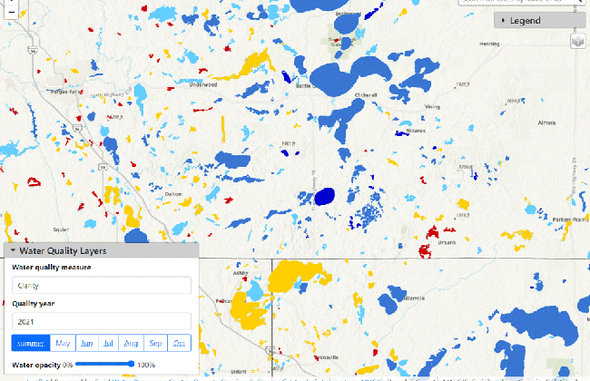
- Principles of geodesign that consider geographic information, culture, demographics, natural resources, and climate in informing the potential solution
- Active community participation to co-develop solutions, shaping and configuring the evolution of local solutions that are sustainable and resilient
- Testing, measuring, and validating the effectiveness of solutions
- Scaling relevant solutions across different regions
- Informing public policy recommendations on the basis of successful interventions
Four international research projects were chosen for seed funding in 2024. These projects leverage geodesign thinking, geospatial technologies, and other research tools to help local communities around the world. They include collaborators at universities, tribal nations, and other organizations across the US and internationally.
Why Give?
Your contributions will help researchers at the University of Minnesota to connect and work with more communities in Minnesota, around the nation, and in partner countries. Funds will be used to:
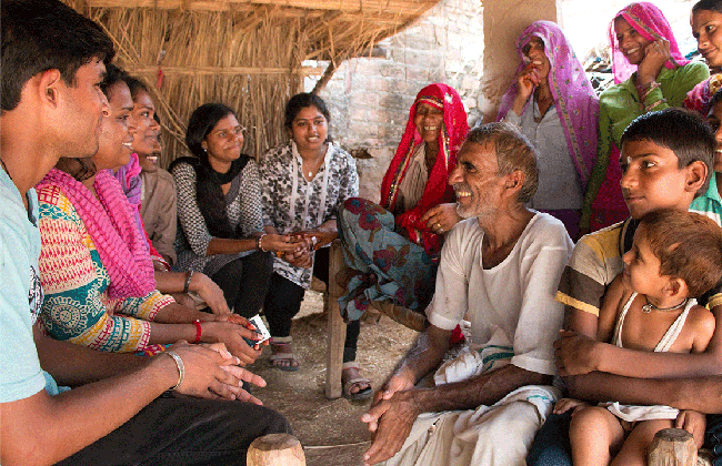
- Organize community discussions and workshops to learn about the issues affecting the lives of people and develop partnerships with local organizations. For example, students and researchers spending time in a rural community to first-hand experience the constraints and barriers.
- Fund UMN researchers who stay in a community to quantify the problem and learn about the community’s culture, history, and practical implementation scenarios. Use this understanding to co-develop a solution that can meet the needs of community members.
- Fund relevant applied research to develop appropriate solutions, testing, and validation. Work with county, state, and federal agencies to advance policies based upon the proven solutions.
Support the GeoCommunities program with your donation
Program Leadership and Expertise
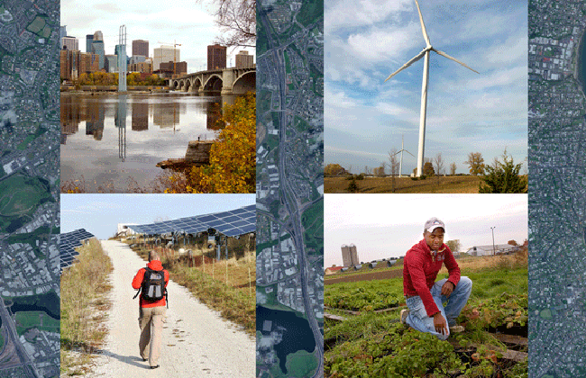
The University of Minnesota is a leader in community engagement, extension programs, geospatial information technologies and analysis, with strengths in mapping, satellite imaging, data science, and machine learning, geography, and census and demographic information. As the lead institution for the NSF/USDA AI-CLIMATE Institute, UMN is combining knowledge from agriculture and forestry sciences with unique new methods in artificial intelligence (AI), and working to curb the effects of climate change while also lifting rural economies.
Read the research brief developed after the 2024 GeoCommunities Planning Workshop in June, or visit the GeoCommunities Program page.