Since 2007, the Polar Geospatial Center (PGC) at the University of Minnesota has been working to solve geospatial problems at both poles. Both scientists and logistics personnel in Antarctica and the Arctic require geospatial data like high-resolution satellite imagery and 3D surface models for planning and analysis. PGC provides this data and one-on-one geospatial support for the polar community.
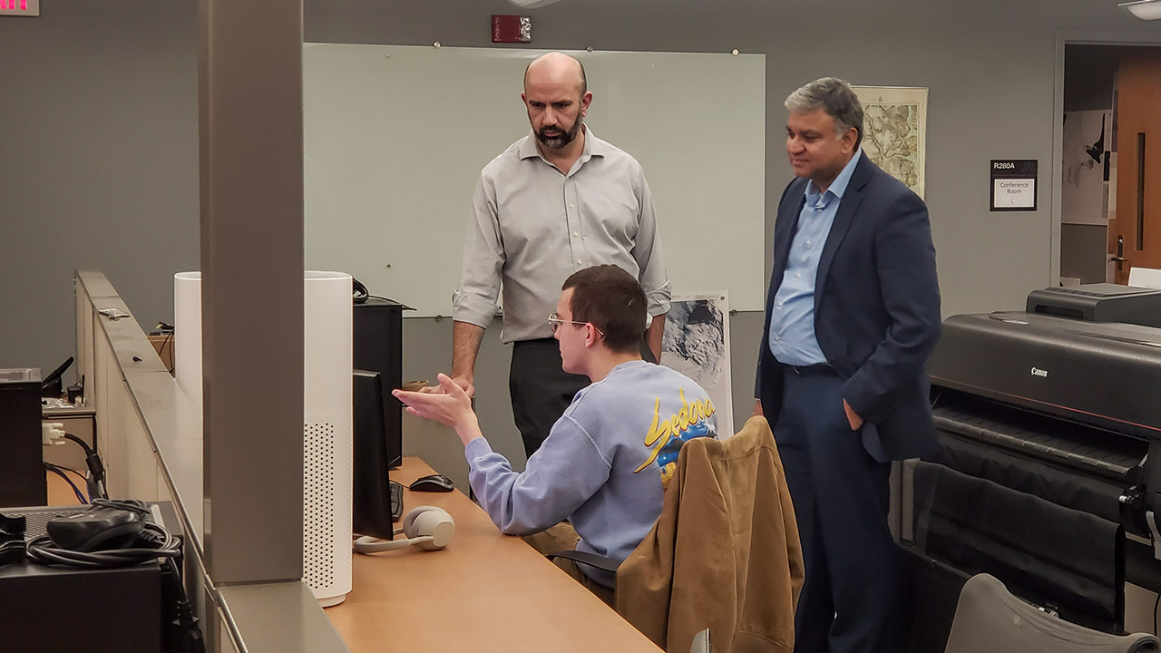
Vice President for Research and Innovation Shashank Priya recently visited the PGC, where he met with Director Jay Dickson and Geospatial Support Assistant Miles Sterner to learn more about the center's leading work with researchers on mapping and remote sensing projects in the most remote locations on Earth. PGC supports projects ranging from quantifying ice loss to mapping traverse routes for cargo transport to wildlife population studies.